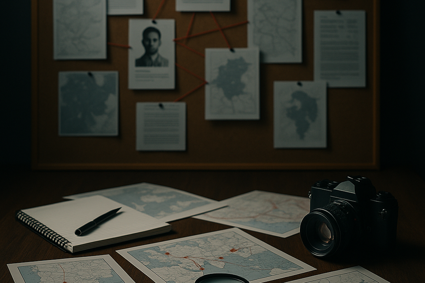
Coordinates of Truth: How GEOINT and Geotagging Make the Hidden Visible
Geospatial Intelligence (GEOINT) is an OSINT discipline that combines satellite imagery, map markers, and social media geotags to establish the location and timing of events.
GEOINT combines satellite images, drone data, and even signals from ships and aircraft to determine where and when events take place, trace transport routes, verify property ownership, or locate key individuals. In corporate intelligence and investigative journalism, it has become an indispensable tool for seeing what is meant to remain invisible.
Tools Used in GEOINT Investigations
International Services
- Google Earth Pro / Google Earth Engine – Historical and current satellite imagery, time-lapse layers.
- Sentinel Hub / Copernicus – Free data from European Sentinel satellites (10-meter resolution, frequent updates).
- Planet Labs – Commercial imagery with resolution down to 3 meters, widely used in investigative reporting.
- MarineTraffic / VesselFinder – Real-time vessel tracking (AIS) and detection of “dark transfers” when ships turn off transponders.
- FlightRadar24 / ADS-B Exchange – Data on flight paths and landings.
- Exif.tools, FotoForensics – Extraction and verification of photo and video geotags and metadata.
Russia and CIS
- Roscosmos ScanEx, Kosmosnimki – Archives of Russian satellites such as Resurs-P and Kanopus-V.
- Public Cadastre Map (Rosreestr) – Coordinates and boundaries of property plots.
- Yandex Maps and Panoramas – Detailed urban maps and historical imagery.
- Local AIS providers – Regional vessel-traffic data.
- VK, Telegram, Yandex Photos (archive) – Search for posts with geotags and precise locations.
Notable Cases and Investigations
- Military Sites and Satellites. Independent analysts tracked new missile infrastructure at the Sary-Shagan range in Kazakhstan by comparing Planet Labs images with historical Google Earth layers.
- Sanctioned Oil. In 2023 The Guardian and Bellingcat documented “dark transfers” of Russian oil in the Mediterranean using Sentinel Hub and MarineTraffic.
- Illegal Deforestation. Global Forest Watch and NASA exposed mass forest destruction in the Amazon and Russia’s Far East, influencing major retail supply contracts.
- Luxury Real Estate. Russian journalists from Proekt analyzed cadastre data and Kanopus-V imagery to prove the construction of Black Sea residences linked to high-ranking officials.
Geotags and Social Media: When Photos Speak Louder than Words
Geotags in Instagram, VK, and other platforms often become key evidence.
- In 2019 investigators used Instagram photos to prove ownership of the super-yacht Scheherazade, linking it to specific Russian officials.
- OCCRP documented cases where relatives of officials posted photos from European villas far beyond their official incomes; geotags and interior details confirmed the locations.
- Ukrainian OSINT analysts have repeatedly identified military personnel by social-media photos, pinpointing front-line positions using background details and metadata.
Working with such data demands caution: analysts must verify the authenticity of metadata, rule out spoofed GPS coordinates, and cross-reference multiple sources—from cadastre maps to aviation archives.
Why It’s Not for Everyone
Deep GEOINT investigations often take months of team effort. Satellite analysts, computer-vision experts, lawyers, and programmers collaborate to order high-resolution images, model landscape changes, verify geotags, and correlate them with financial and corporate records. A single unverified coordinate can undermine an entire investigation.
Outlook
The growing availability of commercial satellites, drones, and AI algorithms is making GEOINT more accurate and more accessible. For businesses it is a tool of preventive control—monitoring construction, verifying warehouses, checking partners. For journalists it is a way to present irrefutable evidence.
In a world monitored 24/7 by satellites, where every snapshot and every social-media post leaves a digital trace, the ability to “see the coordinates of truth” is no longer the privilege of intelligence agencies. It is becoming the foundation of corporate intelligence for companies, reporters, and investigators alike.


